1
/
of
1
mysite
1861 Map of Tokyo or Edo, Japan
1861 Map of Tokyo or Edo, Japan
Regular price
€528,00 EUR
Regular price
€533,00 EUR
Sale price
€528,00 EUR
Taxes included.
Shipping calculated at checkout.
Share
Quantity
Couldn't load pickup availability
By:?Anonymous
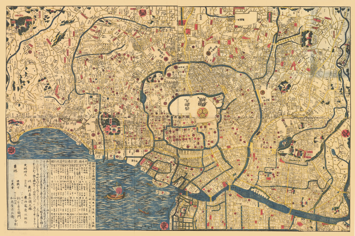
Date:?1861 (Published) Japan
Original Size:?24.8 x 35 inches (63 cm x 89 cm)
This is a fine print reproduction of an authentic, antique map of Tokyo, created by an anonymous source in Japan circa 1861.
This colorful and highly detailed woodcut map of Edo, or Tokyo shows streets, docks, waterways and bridges. It is centered on the Imperial Palace (Chiyoda Castle) and Asakusa Sensoji (Tokyo¡¯s oldest temple) and identifies many other buildings, temples, and shrines.
With no specific directional orientation, the map and text within seem to radiate around the Imperial Palace. Even the trees appear upside-down or sideways when the map is viewed from one angle. The map is adorned by two traditional sailing boats occupying the Sumida River.
A fascinating work of Japanese craftsmanship made with both practical and decorative intentions.
Inventory # 19702